Quesnel River Research Centre GIS Database
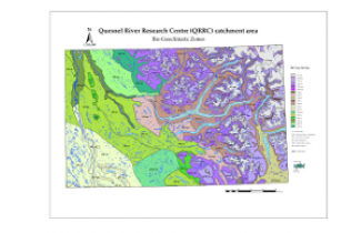
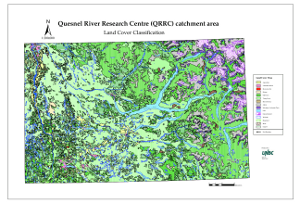
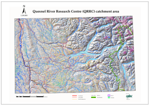
The QRRC GIS was built to aid researchers who undertake work in the Quesnel watershed (ca. 12,000 km² ) and is available to anyone doing research at the center. The GIS web-mapping portion is available to anyone who wishes to view some of the data in the QRRC GIS. If you are interested in conducting research at the QRRC and would like to use the GIS database please contact us.


