Snow Problem in the Mountains

Download the high-resolution image.
“Many scientists predict that the mountainous regions of western North America . . . will experience rates of climate change much higher than the global average."
In the middle of winter, we may think that global warming is not such a bad thing….as long as the snow is good for skiing. But to Stephen Déry, snow and ice are not just fun and picturesque, they’re vital to our survival.
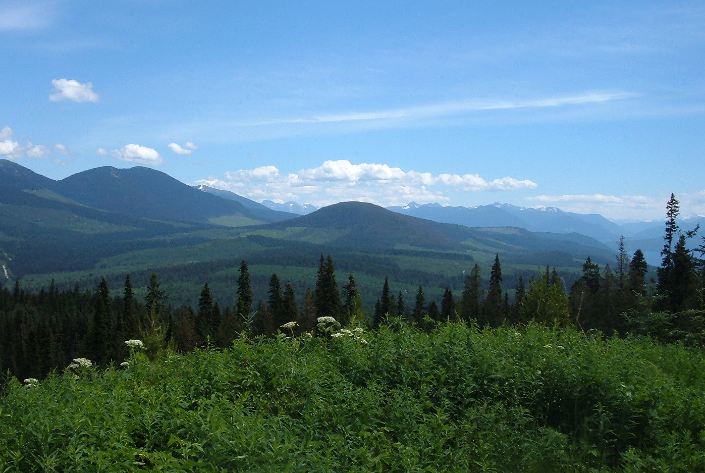
Standing on top of Spanish Mountain in the Cariboo Mountains, Dr. Déry has a commanding view of the surrounding countryside. Far below is Quesnel Lake, the deepest glacier-created lake in Canada. The scene is straight out of a tourism brochure, but it’s an area at risk.
“We’ve all seen and heard about the effects of climate change in the Arctic but areas of high altitude are equally susceptible to the global warming trend,” says Dr. Déry, who came to UNBC from Princeton University as a Canada Research Chair. “Many scientists predict that the mountainous regions of western North America – otherwise known as the Western Cordillera – will experience rates of climate change much higher than the global average. This has huge implications for the water cycle and whether water will continue to be stored as snow and ice. This is the perfect place to study how climate variability at high altitudes will affect access to our most precious natural resource: fresh water.”

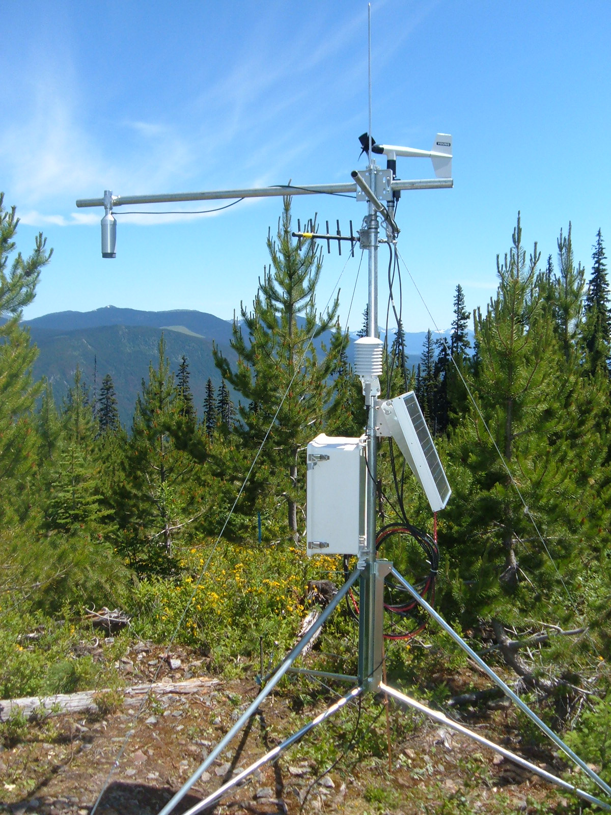
Meteorological Station. Download the high-resolution image.

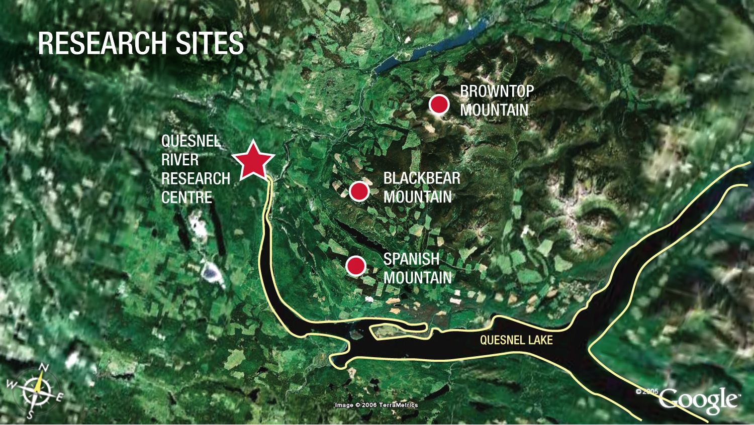
Map of research sites used to gather weather data. Download the high-resolution image.
It’s perfect for at least two reasons. First, the Quesnel River Basin drains an area of more than 11,000 square kilometres. The diversity of the landscape ranges from glacier-covered mountains to expansive ranches and the watershed amazingly includes both the wettest and driest areas of the BC Interior and some of its coldest and warmest regions. In fact, 13% of the research area is alpine tundra. Second, the historical weather record for the region is one of the oldest in British Columbia. Weather data from Barkerville stretches back to 1888 and the high elevation (1265 m) of the old gold rush town makes it an ideal location from which to draw comparisons.
Fast forward to 2006. This past summer, Dr. Déry and his research assistant Shane MacLeod deployed meteorological stations on three mountains in the area – Spanish (elev. 1509 m), Blackbear (elev. 1591 m), and Browntop (elev. 2028 m) – as well as at the University’s Quesnel River Research Centre (elev. 742 m). From these locations, information on temperature, humidity, wind speed and direction, barometric pressure, precipitation, snow depth, and soil temperature is being recorded. Adding in the old data from Barkerville, Dr. Déry will piece together a unique retrospective on high-altitude climate change along with some predictions of what the future holds. The province as a whole has seen its temperature rise about one degree over the past century. Has it been worse at the high altitudes? Stephen Dery will tell us.

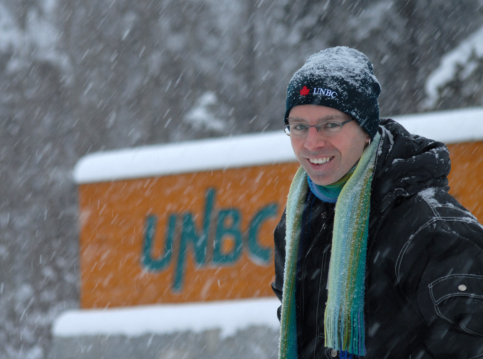
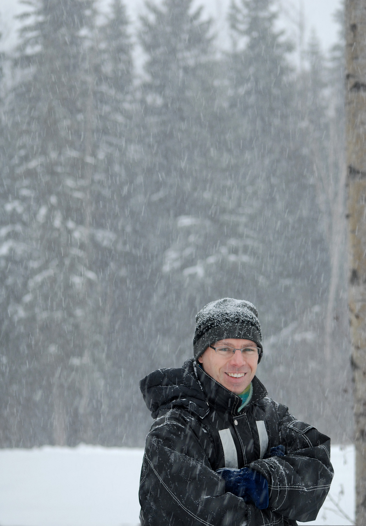
Stephen Déry. Download the high-resolution image.

The view from the top of Spanish Mountain. Download the high-resolution image.
“Evaluating the past, current, and future contribution of snow, glaciers, and permafrost to a region like the Quesnel River Basin is relevant to water management and commercial activities around BC and across Canada,” says Dr. Déry. “This research will answer one of the most pressing questions that Canadian society will face in the 21st century: Will we have sufficient water for our needs and where will it come from?”
Dr. Déry's Bio
Dr. Stephen Déry has three degrees in Atmospheric Science: a B.Sc. and M.Sc. from York University and a Ph.D. from McGill University. He came to UNBC in 2005 as Canada Research Chair in Northern Hydrometeorology, focusing on how rising temperatures affect the water cycle. Prior to this appointment, Stephen was a researcher at the prestigious Lamont - Doherty Earth Observatory of Columbia University outside New York City and also held a Visiting Research Scientist position at Princeton University in New Jersey. In addition to this Canada Research Chair position, Stephen has appointments in the Chemistry, Environmental Science and Environmental Engineering undergraduate and Natural Resources and Environmental Studies graduate programs at UNBC. He teaches senior-level courses in Atmospheric Science and has developed a new course simply entitled, Ice and Snow.
Assistant Professor, Environmental Science & Engineering
Canada Research Chair - Northern Hydrometeorology
PhD Atmospheric Sciences
(McGill University)
Contact:
(250) 960-5193
sdery@unbc.ca
Radio Files
Dr. Déry says snow and ice supply water reservoirs, which are crucial for day-to-day life. (17s)
Dr. Déry says he will compare the data he collects with historic Barkerville weather records. (15s)
Dr. Déry discusses his research goals. (11s)


