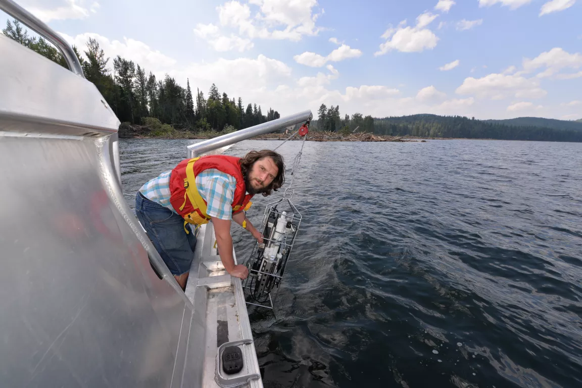
Study Documents Impacts of Tailings Impoundment Spill on Quesnel Lake

Prince George, BC –– A new research paper documents the physical and chemical characteristics, location, and extent of a sediment plume within Quesnel Lake for the first time since a mine tailings pond breach in August 2014, and discusses the initial and potential long term effects of the breach on the Quesnel Lake ecosystem.
The paper is co-authored by five UNBC researchers and their collaborators. The impact of a catastrophic mine tailings impoundment spill into one of North America’s largest fjord lakes: Quesnel Lake, British Columbia, Canada, was published online by the journal Geophysical Research Letters on May 5.
UNBC scientists Ellen Petticrew, Phil Owens, Sam Albers, Stephen Déry, and Nikolaus Gantner collaborated closely with researchers at the University of British Columbia and the Department of Fisheries and Oceans (DFO) to produce this paper.
Researchers used historic in-lake mooring data, newly collected data, as well as publicly available information from the British Columbia Ministry of the Environment, Environment Canada, and the Mount Polley Mining Corporation to compare pre-breach conditions to changes in the lake following the catastrophic failure of the tailings impoundment on Aug. 4, 2014.
UNBC researchers were amongst the first on scene, owing to the proximity of the Quesnel River Research Centre to the location of the breach. The QRRC is located 23 kilometres from the Mount Polley Mine (eight kilometres as the crow flies) and 10 kilometres away by boat from where Hazeltine Creek enters Quesnel Lake.
“The advantage of having a strong group of scientists who were already collaborating on other projects in Quesnel Lake, was that we were able to respond quickly to implement sampling,” says lead author and UNBC Geography Professor Dr. Ellen Petticrew. “Knowledge of lake movement drives the chemical conditions which influences biological exposure is extremely important information for assessing and responding to an unplanned disaster of this scale and enabling us to evaluate the impact on the aquatic ecosystem.”
The study reporting on results from Aug. 4 through to Oct. 4 found:
• A lake level rise of 7.7 centimetres was accompanied by a temperature increase of 1 to 2.5 C at the bottom of the lake.
• The turbidity of the water column was increased in the West Arm of Quesnel Lake, indicating the existence of a sediment plume at depths below 30 metres.
• Ultra-fine sediments remained suspended (394 cubic metres representing a surface area of about 1,000 square kilometres).
• The rocking of the water column, or seiching, redirected the plume towards the North and East Arms of Quesnel Lake, as well as towards the lake outflow, Quesnel River.
• Copper concentrations in sediment samples collected from Quesnel Lake and Quesnel River are elevated, often above sediment quality guidelines for freshwater ecosystems.
The researchers also identify knowledge gaps and stress the need for continued monitoring to determine what lessons can be learned.
“UNBC researchers from the Prince George campus and the Quesnel River Research Centre led the way by acting immediately to study the impact of the tailings pond breach,” says UNBC President Dr. Daniel Weeks. “Ongoing analysis is crucial and UNBC researchers are committed to thoroughly investigating Quesnel Lake and documenting the post-spill environment.”
The study involved close cooperation with scientists from across British Columbia and involved graduate students and technicians. It was supported by Forest Renewal BC, DFO, UBC, and UNBC.
The full paper is available at: http://onlinelibrary.wiley.com/doi/10.1002/2015GL063345/abstract
-30-