There's a Map For That
UNBC’s campus is surrounded by scenic multi-use trails popular with cyclists, hikers, and skiers. Two new mapping projects are making it easier to take advantage of the trail network that crisscross the UNBC Prince George campus.
Supported by the Green Fund, the new maps give users additional tools to plan their route and navigate the 21 kilometres of trails located on University property. The Aleza Lake Research Forest produced an interactive, online map detailing the 500 hectares of forested space around UNBC. At the same time, UNBC Geography Associate Professor Dr. Roger Wheate led a group that made physical maps of the Greenway trail system.
The online Forest Lands map, available here, denotes the UNBC property line, lakes, wetlands, streams, and nearby greenspaces. The Greenway trails and other officially recognized trails are included as well as other user-maintained trails. Compatible software allows users on smart phones to track their location as they hike, bike, snowshoe, or ski through the trail network.
The online map also provides researchers with the ability to identify areas of University property suitable for scientific study.
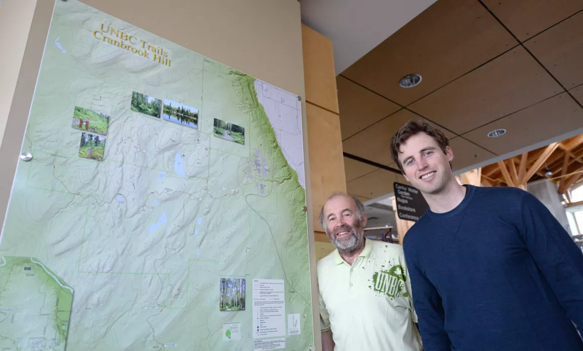
Dr. Wheate’s group created mounted maps of the UNBC trail system, including the Greenway. Four maps are located in the Geoffrey R. Weller Library, Charles Jago Northern Sport Centre, the Doug Little Lounge and on a mobile cabinet display in Telus Student Street.
The maps include the complete trail network plus important landmarks, including the recently constructed traditional pit house.
The maps are a great resource for students, faculty, staff, and the community at large who want to make the most of the recreational and educational opportunities available around the Prince George campus.